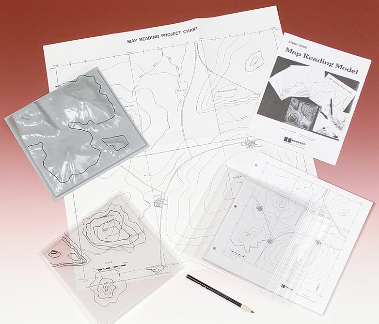
Students are guaranteed to learn the fundamentals of map reading with this stimulating activity. Teach map symbols, scale, direction, latitude and longitude and elevation—and relate these to real-life features. Use the three-dimensional terrain model, wall chart of the same relief model and two sets of five transparent plastic elevation sheets to teach map contours. Pad of 50 student maps, marking pencil and study guide outlining demonstrations, exercises and projects included.