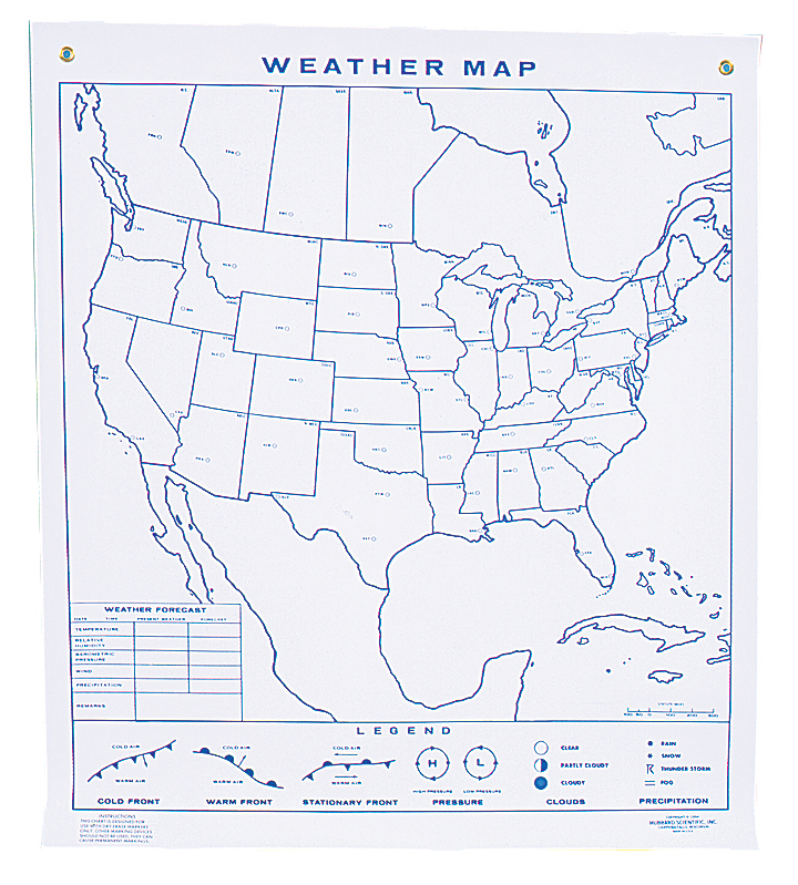
North American Weather Maps
North American Weather Map Wall Chart for Earth science and meteorology is a bright white chart that can be marked on using dry erase markers. Plot weather patterns and forecast weather conditions.
See more product details
Options:
(Select option to see volume pricing availability)
Product Details
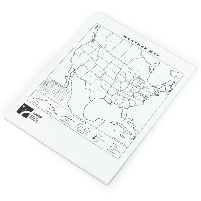
Students plot weather patterns and forecast weather conditions for over 50 key cities across North America. The bright white, large-size chart can be marked on using dry erase markers and can be easily seen by the entire class. The reverse side of the chart has an outline of the world with two climagraphs where plots can be made of comparative temperature and precipitation data. Students follow along by plotting data on their own individual student maps, sold separately. Chart size is 44" x 50" and includes one dry-erase marker and a 10-page detailed study guide. Individual student maps are 8½" x 11" and are provided in a pad of 50 maps.