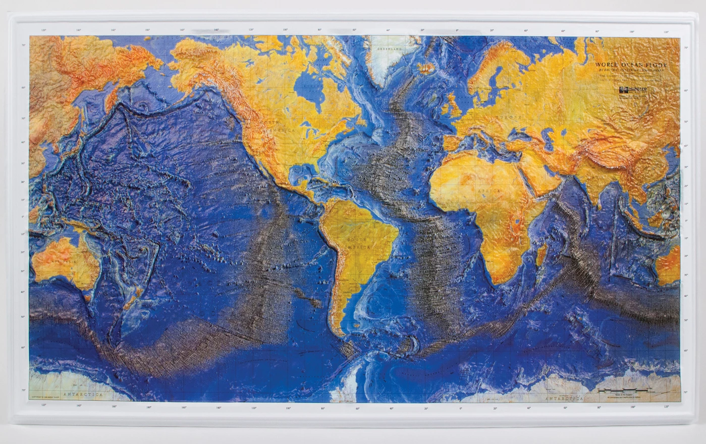
World Ocean Floor Map for Earth science is a full-color projection that provides an accurate and up-to-date representation of the ocean floor landscape. Durable and washable finish.
Imagine our world’s ocean floor—with no water! This full-color Mercator projection provides an accurate and up-to-date representation of the ocean floor landscape—shown in dramatic relief. Small labels on this physiographic map identify abyssal plains, submarine canyons, mid-ocean ridge/rift, shelf and slope, seamounts, plateaus, island/arc trench systems, fracture zones, fossil and active spreading centers, and triple junctions. Durable and washable plastic finish. Size 38" × 24".